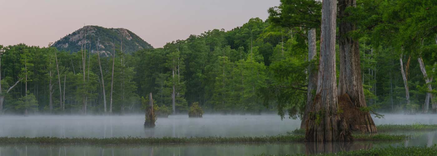
Explore Felsenthal National Wildlife Refuge Water Trails
A free Felsenthal National Wildlife Refuge access permit is required of anyone using the refuge. Permits are available online, at access points, and at refuge headquarters on U.S. Highway 82.
Grand Marais Access
GPS Coordinates:
33°03’30.7”N 92°08’40.7”W
Driving Directions:
From U.S. Highway 82, turn south on North Road (across highway from Jones Lake Access on Ouachita River sign). Travel 5.2 miles to stop sign at Dollar Junction Road.
Turn left and travel 2.3 miles to a stop sign.
Turn left on K Avenue and take the first left into the Grand Marais Campground and boat ramp.
Deep Slough Access
GPS Coordinates:
33°08’51.1”N 92°09’29.2”W
Driving Directions:
From Felsenthal National Wildlife Refuge headquarters, travel 6 miles west on U.S. Highway 82.
Turn left into the parking area and boat ramp at the Deep Slough Access sign.
Shallow Lake Access
GPS Coordinates:
33°06’50.5”N 92°09’37.7”W
Driving Directions:
From Felsenthal National Wildlife Refuge headquarters, travel 7.5 miles west on U.S. Highway 82.
Turn left at the Shallow Lake Access sign, bear left at 2.5 miles and continue 1.2 miles to the boat ramp.
To request a reservation, click here.